


🧭June 9, 2025 Post 1: 🌊 Damming Diplomacy: China, the Brahmaputra, and India’s Riverine Resilience | High Quality Mains Essay | Prelims MCQs
🌊 Damming Diplomacy: China, the Brahmaputra, and India’s Riverine Resilience
INTERNATIONAL Relations & GEOGRAPHY
🗓️ Post Date: June 9, 2025
📚 Thematic Focus: GS1 / Geography | GS2 / International Relations | Water Resources & Transboundary Rivers
🪶 Opening Whisper:
When a river bends and borders shift, who owns the flow of water—or the silence it carries downstream?
🔍 Key Highlights
🌐 In Focus: Brahmaputra Under Watch
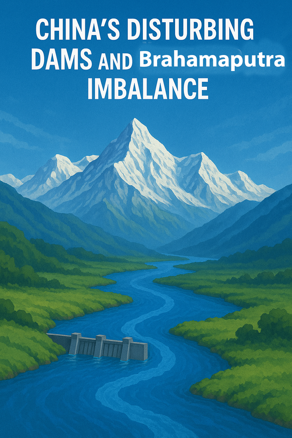
India is closely observing China’s dam-building activities on the Yarlung Tsangpo (upper Brahmaputra) in Tibet.
Projects like the Medog Hydropower Project (planned 60,000 MW) near the Great Bend have sparked concern in Arunachal Pradesh and Assam over hydrological, ecological, and geopolitical impacts.
🏞️ Origin, Flow & Tributaries
- Origin: Kailash ranges in Tibet (Elevation: 5,150 m) as Yarlung Tsangpo
- Enters India: Near Gelling, Arunachal Pradesh as the Siang
- Flow Path: Arunachal → Assam → Bangladesh (Jamuna)
- Length in India: 916 km (of total 2,900 km)
- Basin Coverage: China (Tibet), Bhutan, India, Bangladesh
- Key Right-Bank Tributaries: Subansiri, Teesta, Dibang, Lohit
- Key Left-Bank Tributaries: Burhidihing, Kopili
⚡ China’s Dams: Impact and Interpretation
- Primary Use: Hydropower, not water storage
- Hydrological Impact: May cause temporary fluctuations—sudden releases or flow withholding
- Lean Season Effects: Potential stress on Indian hydropower & agriculture
- Geopolitical Tools: China withheld hydrological data in 2017 (Doklam standoff)
- Ecological Disruption: Impacts sediment flow, aquatic life, and flood-dependent ecosystems like Kaziranga National Park
- Strategic Risks: Seen as asymmetric leverage in water diplomacy
💧 China vs India: Who Contributes What?
- China contributes 22–30% of Brahmaputra’s annual flow
- India generates 70–78% of flow through:
• Monsoon rains
• Tributaries from Arunachal & Assam - India’s rainfall in the basin: ~2,371 mm annually
🟢 Implication: While upstream Chinese activity can disrupt seasonal patterns, it cannot control overall discharge.
🔗 Proposed River-Linking Projects
- Manas-Sankosh-Teesta-Ganga Link
- Jogighopa-Teesta-Farakka Link
Aim: Transfer surplus Brahmaputra water to water-scarce regions of Ganga basin
🏝️ Riverine Heritage of Assam
- Majuli: World’s largest inhabited river island
- Umananda: World’s smallest island on a river
🛠️ Way Forward for India
- Scientific Studies: Model hydrological impact of upstream projects
- Diplomatic Pressure:
• Enforce 2002 & 2013 agreements on hydrological data-sharing
• Use forums like SCO, BIMSTEC, Quad - Early-Warning Systems: Coordinate real-time flood alerts
- River Basin Planning: Accelerate Lower Subansiri and Siang basin hydropower development
- Eco-sensitive Planning: Protect biodiversity & traditional riverine livelihoods
🧭 GS Mains Mapping
GS1 – Physical Geography (Rivers, Hydrology), Human-Environment Interaction
GS2 – India–China Relations, Bilateral Treaties, Disaster Preparedness
GS3 – Infrastructure, Environment, Energy Security, Biodiversity
💭 A Thought Spark — by IAS Monk
“Rivers never ask for visas. But in the age of steel and states, even water can be held hostage by ambition.”
India must remember — geography may shape rivers, but diplomacy must shape their destiny.
High Quality Mains Essay For Practice :
Word Limit 1000-1200
Between the Peaks and the Power Lines: Understanding the Brahmaputra Dilemma Amid China’s Dams
Introduction
The Brahmaputra River—one of the most powerful and sacred rivers in South Asia—has become a focal point of ecological, geopolitical, and hydrological debate. As China undertakes massive hydropower development projects on the river’s upper reaches in Tibet, India has raised concerns about the strategic, environmental, and livelihood implications for its northeastern states, particularly Arunachal Pradesh and Assam.
While the physical river originates high in the Himalayas, its political life winds through the halls of diplomacy, infrastructure debates, and ecological calculations. This essay examines the multi-dimensional dynamics of Chinese dams on the Brahmaputra, their actual and potential impacts on India, and the strategic pathways India must pursue to ensure hydrological sovereignty, regional stability, and ecological sustainability.
The Brahmaputra River System: A Geographic and Hydrologic Powerhouse
Geographical Overview
- Origin: The river rises in the Kailash ranges in southern Tibet as the Yarlung Tsangpo, at an elevation of 5,150 m.
- Flow: It traverses 2,900 km, including 916 km in India, before entering Bangladesh (where it is called the Jamuna) and joining the Ganges to form the Padma.
- Indian States Covered: Arunachal Pradesh, Assam, West Bengal, Meghalaya, Nagaland, Sikkim.
- Major Tributaries:
- Right Bank: Subansiri, Lohit, Dibang, Teesta
- Left Bank: Burhidihing, Kopili
Hydrological Facts
- India contributes 70–78% of the Brahmaputra’s water volume despite holding only 34.2% of the basin’s area.
- The region receives high monsoonal rainfall, averaging 2,371 mm annually.
- Brahmaputra’s basin accounts for over 30% of India’s water resources and 41% of its hydropower potential.
China’s Hydropower Projects: Scope and Strategic Signals
China is undertaking massive hydropower development along the Yarlung Tsangpo, ostensibly for renewable energy generation. These include:
- The Medog Hydropower Project, near the Great Bend, is projected to generate 60,000 MW, making it the largest hydropower plant in the world—surpassing the Three Gorges Dam.
- China claims these are run-of-the-river projects that do not store water permanently. However, even temporary flow alterations could have downstream consequences.
Hydrological Impacts on India: Myths and Realities
✅ Minimal Impact on Volume, But Maximum Impact on Timing
- Multiple hydrological studies confirm that China contributes only 22–30% of the Brahmaputra’s annual flow.
- The remaining majority is generated within India through its tributaries and rainfall.
- Hence, China cannot significantly reduce the total volume entering India—but it can manipulate the timing and velocity of water releases:
- Sudden discharges → flood risk in Arunachal and Assam
- Withheld flows during lean season → water and power shortages
🔁 Case in Point:
During the 2017 Doklam standoff, China withheld hydrological data it was obligated to share. This exposed a critical vulnerability in India’s disaster preparedness and water diplomacy framework.
Ecological and Socioeconomic Consequences
🌱 Ecological Balance
- The Brahmaputra’s flood-pulse dynamics are essential for wetlands like Kaziranga National Park, which rely on periodic inundation for nutrient cycling.
- Dams can disrupt sediment transport, alter aquatic biodiversity, and affect riverine vegetation patterns.
🚜 Livelihood and Agriculture
- Brahmaputra supports extensive agriculture, fishing, and inland navigation in Assam and surrounding regions.
- Fluctuations in flow and sedimentation can impact crop yields, riverbank erosion, and seasonal livelihoods.
⚡ Hydropower Development in India
- Projects like the Lower Subansiri Hydro Project in Arunachal Pradesh are vulnerable to flow inconsistencies.
- Delays or unpredictability can reduce energy efficiency and increase project costs.
Geopolitical and Strategic Dimensions
🧭 Water as Leverage
- While China publicly disavows weaponizing water, its dam diplomacy offers latent leverage.
- Upstream infrastructure gives China a potential hydro-strategic advantage, especially during periods of tension.
🌐 Transboundary Governance Vacuum
- There is no binding multilateral treaty governing the Brahmaputra.
- India and China have signed non-binding Memorandums of Understanding (MoUs) for data sharing (e.g., in 2002, 2013), but compliance is inconsistent.
🧩 Inter-State Conflict Potential
- Any disruption in water flows can escalate inter-state tensions within India, especially between Assam and Arunachal Pradesh over water usage and dam management.
River-Linking Proposals: From Surplus to Scarcity
India has proposed transferring Brahmaputra’s excess water to the Ganga basin via two interlinking projects:
- Manas-Sankosh-Teesta-Ganga Link
- Jogighopa-Teesta-Farakka Link
While these offer potential relief to water-scarce regions, they require:
- Huge infrastructure investments
- Careful environmental impact assessment
- Political consensus across states
India’s Strategic Response: The Way Forward
1. Scientific and Technical Readiness
- Develop multi-disciplinary hydrological models to predict dam impacts
- Strengthen ground-level data stations in Arunachal and Assam
2. Diplomatic Engagement
- Renew and reinforce hydrological data-sharing protocols
- Integrate river issues in bilateral talks, not just sectoral forums
3. Regional Cooperation
- Use BIMSTEC, SCO, and Quad platforms to:
- Push for regional water governance
- Encourage international scrutiny of unilateral dam-building
4. Disaster Preparedness
- Build early-warning systems for floods
- Use satellite imagery and AI to track upstream dam activity
5. Eco-sensitive Development
- Prioritize small, community-led hydro and flood-mitigation projects
- Adopt river basin management frameworks over project-specific planning
NEP and Environmental Education
India must incorporate water diplomacy and environmental stewardship into mainstream education and capacity-building frameworks:
- Train hydrologists, diplomats, and ecologists together
- Strengthen public awareness on transboundary river governance
Conclusion
The Brahmaputra is not just a river—it is a pulse of civilization, a lifeline of biodiversity, and a mirror of diplomacy. China’s dams may not dry up the river, but they have the potential to reshape its rhythm, disrupt ecological cycles, and trigger geopolitical rifts.
India’s response must be multi-layered—scientific, diplomatic, ecological, and infrastructural. The river’s course cannot be moved, but its destiny can be redirected through intelligent, equitable, and cooperative governance. For a country that has known the Brahmaputra not as a resource but as a presence, the task is not just to secure water—but to preserve the balance between flow and future.
Quote to End With:
“He who controls the headwaters may not control the river—but he controls the question that flows with it.”
Target IAS-26: Daily MCQs :
📌 Prelims Practice MCQs
Topic: China, the Brahmaputra, and India’s Riverine Resilience
MCQ 1 – Type 1: How many of the above statements are correct?
Consider the following statements regarding the Brahmaputra River and Chinese hydropower projects:
1. The Brahmaputra is known as the Yarlung Tsangpo in Tibet and enters India near Gelling in Arunachal Pradesh.
2. China’s Medog Hydropower Project is designed for long-term water storage to control floods in India.
3. Despite a smaller basin area, India contributes over 70% of the Brahmaputra’s annual flow.
4. Kaziranga National Park relies on regular Brahmaputra flooding for its ecological regeneration.
How many of the above statements are correct?
A) Only two
B) Only three
C) All four
D) Only one
🌀 Didn’t get it? Click here (▸) for the Correct Answer & Explanation
✅ Correct Answer: B) Only three
🧠 Explanation:
1) ✅ True – The river originates as Yarlung Tsangpo and enters India at Gelling.
2)❌ False – Medog is for hydropower, not water storage.
3) ✅ True – India contributes 70–78% of annual flow through rain and tributaries.
4)✅ True – Flooding is vital for Kaziranga’s ecosystem.
MCQ 2 – Type 2: Two Statements Based
Consider the following two statements:
1. During the 2017 Doklam standoff, China withheld hydrological data it was obligated to share with India.
2. The Brahmaputra basin accounts for less than 10% of India’s total water resources.
Which of the above statements is/are correct?
A) Only 1 is correct
B) Only 2 is correct
C) Both are correct
D) Neither is correct
🌀 Didn’t get it? Click here (▸) for the Correct Answer & Explanation
✅ Correct Answer: A) Only 1 is correct
🧠 Explanation:
1) ✅ True – China withheld data in violation of bilateral agreements.
2)❌ False – The Brahmaputra basin contributes over 30% of India’s water resources.
MCQ 3 – Type 3: Which of the statements is/are correct?
Which of the following statements are correct regarding the Brahmaputra River system?
1. Majuli is the world’s largest river island and lies in Assam.
2. The Subansiri and Teesta rivers are major right-bank tributaries of the Brahmaputra.
3. The river is called the Jamuna after it enters Bangladesh.
4. The proposed Jogighopa-Teesta-Farakka link project aims to connect the Ganga to Brahmaputra.
Select the correct code:
A) 1, 2 and 3 only
B) 2, 3 and 4 only
C) 1, 2 and 4 only
D) 1, 2 and 3 only
🌀 Didn’t get it? Click here (▸) for the Correct Answer & Explanation
✅ Correct Answer: A) 1, 2 and 3 only
🧠 Explanation:
1) ✅ True – Majuli is the world’s largest inhabited river island.
2) ✅ True – Subansiri and Teesta are major right-bank tributaries.
3) ✅ True – In Bangladesh, it is called Jamuna.
4) ❌ False – That link is from Brahmaputra to Ganga, not the reverse.
MCQ 4 – Type 4: Direct Fact
What is the projected power generation capacity of the Medog Hydropower Project proposed by China on the Yarlung Tsangpo?
A) 10,000 MW
B) 25,000 MW
C) 45,000 MW
D) 60,000 MW
🌀 Didn’t get it? Click here (▸) for the Correct Answer & Explanation.
✅ Correct Answer: D) 60,000 MW
🧠 Explanation:
• China’s Medog Hydropower Project is expected to generate 60,000 megawatts, making it the largest hydroelectric facility globally if completed.