🧭June 11, 2025 Post 5: India‑France Announce “TRISHNA” Climate‑Monitoring Satellite Mission | High Quality Mains Essay | Prelims MCQs
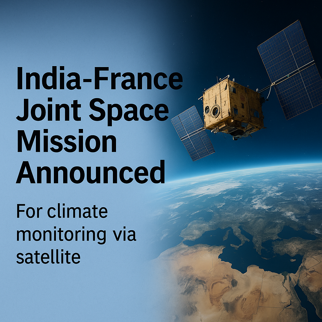
India‑France Announce “TRISHNA” Climate‑Monitoring Satellite Mission

NATIONAL
📅 Post Date: June 11, 2025
📘 Thematic Focus: Science & Tech | International Cooperation | Climate Action
🌿 Opening Whisper
“When two nations gaze at the Earth from space, we see our planet’s pulse in unison.”
🔍 Key Highlights
- ISRO and CNES have officially announced TRISHNA (“Thermal infraRed Imaging Satellite for High‑resolution Natural resource Assessment”), a joint mission leveraging thermal‑infrared imaging to monitor Earth’s surface temperature, vegetation health, and water‑use dynamics
- Slated for launch in 2025 (or early 2026) aboard ISRO’s PSLV, the ~770 kg satellite will operate in sun‑synchronous orbit at ~761 km altitude
- TRISHNA offers high spatial resolution (57 m land/coastal) with revisit every 2–3 days, enabling real‑time tracking of drought stress, crop water efficiency, urban heat islands, and coastal ecosystem health
- The mission deepens India‑France collaboration in climate-monitoring after Megha‑Tropiques (2011) and Saral‑Altika (2013); TRISHNA will join this evolving constellation of environmental observatories
- The announcement took place during the recent French Space Days in India, reaffirming strategic commitment to climate science and Earth-observation cooperation
📘 Concept Explainer: Why TRISHNA Matters
| Feature | Importance |
|---|---|
| Thermal Infrared Imaging | Measures surface temperature — essential for drought, heatwaves, urban planning |
| High-Frequency Returns | 2–3 day revisit rate helps capture rapid environmental changes |
| Collaborative Design | CNES’s TIR sensor + ISRO’s VSWIR payload ensure global-grade data accuracy |
| Global and Local Use | Supports UN SDG reporting, water resource planning, agriculture optimization |
🧭 GS Mains Mapping
- GS Paper 3 – Science & Tech: Earth Observation & Climate Applications
- GS Paper 3 – Economy: Agriculture & Environmental Resource Management
- GS Paper 2 – International Relations: Bilateral Tech Cooperation
💭 A Thought Spark — by IAS Monk
“When satellites measure heat, they measure humanity’s stress. With Trishna, we listen to Earth’s whisper before it becomes a scream.”
High Quality Mains Essay For Practice :
Word Limit 1000-1200
TRISHNA: India-France’s New Climate Sentinel in Space
Introduction
As the global climate crisis intensifies, international collaborations in science and technology have become essential tools for both mitigation and adaptation. One such visionary alliance has emerged in the form of TRISHNA (Thermal infraRed Imaging Satellite for High-resolution Natural resource Assessment), a joint satellite mission between India’s ISRO and France’s CNES. Announced formally during the French Space Days in India, the mission exemplifies the future of climate diplomacy—where countries don’t just talk about carbon, they monitor it from space.
Slated for launch by 2025 or early 2026, TRISHNA will provide high-resolution, high-frequency thermal infrared imagery to monitor land surface temperature, water stress, urban heat islands, and ecosystem health. As an advancement in Indo-French cooperation and global environmental surveillance, TRISHNA brings with it both scientific promise and strategic significance.
What Is the TRISHNA Mission?
Mission Overview
TRISHNA is an Earth observation satellite specifically designed for thermal infrared (TIR) imaging. It is intended to:
- Measure land and water surface temperatures
- Assess vegetation and crop water stress
- Monitor coastal ecosystems, glacial changes, and urban heat islands
The satellite will operate from a sun-synchronous orbit at an altitude of ~761 km, with a spatial resolution of 57 meters for land targets and a revisit period of 2 to 3 days, making it ideal for continuous, global climate surveillance.
Why Thermal Infrared Imaging Matters
Unlike traditional satellite imagery, thermal infrared imaging captures the actual emitted heat radiation from Earth’s surface, not just reflected sunlight. This makes it invaluable for:
- Drought forecasting by assessing evapotranspiration
- Precision agriculture through crop water stress monitoring
- Urban planning to mitigate heat islands
- Water resource management through hydrological modeling
- Disaster preparedness by tracking wildfires, heatwaves, and surface temperature anomalies
Thus, TRISHNA will complement existing satellites like ISRO’s RESOURCESAT series and NASA’s Landsat and ECOSTRESS missions, filling a critical data gap in the thermal domain.
The Division of Responsibilities
The TRISHNA mission is a true co-development model:
- CNES (France) is providing the thermal infrared payload, drawing from its SPOT-6/7 heritage and thermal expertise.
- ISRO (India) is contributing the VNIR–SWIR (Visible Near Infrared – Shortwave Infrared) sensor, spacecraft bus, integration, launch via PSLV, and mission operations.
This integrated partnership reflects a new level of trust and technical alignment between the two nations—going beyond one-off launches into joint design, build, and deployment.
Strategic Significance of Indo-French Space Cooperation
A. Historical Continuity
TRISHNA follows a successful track record of Indo-French collaborations:
- Megha-Tropiques (2011): Climate and monsoon studies
- SARAL-Altika (2013): Ocean surface altimetry
- Joint Oceansat and Argos data relay programs
These missions have strengthened interoperability, data exchange, and mutual access to spaceborne observations between the two countries.
B. Strengthening Climate Diplomacy
Both India and France are signatories to the Paris Agreement and vocal advocates of climate justice and green technology access. TRISHNA demonstrates that their partnership isn’t symbolic—it’s solution-driven and science-backed.
C. Technological Sovereignty
In an era of satellite weaponization and geospatial dominance by big tech players, collaborative public-sector missions like TRISHNA reinforce sovereign access to critical data for national and global decision-making.
Applications of TRISHNA Data in India
1. Agriculture and Irrigation Efficiency
TRISHNA will enable:
- Mapping of evapotranspiration rates
- Early detection of crop failure or heat stress
- Optimized irrigation scheduling to reduce groundwater overuse
It will aid Pradhan Mantri Krishi Sinchayee Yojana, PM-Fasal Bima Yojana, and National Mission for Sustainable Agriculture.
2. Water Resource Planning
States like Maharashtra, Tamil Nadu, and Rajasthan face severe water stress. TRISHNA can help:
- Track reservoir levels, groundwater recharge, and runoff dynamics
- Support river basin management and interlinking strategies
3. Urban Climate Resilience
India’s Tier-1 cities experience record-breaking urban heat islands. TRISHNA will guide:
- Urban forestry initiatives
- Design of cool-roof policies
- Smart city planning through heat-mapping
4. Coastal and Glacial Monitoring
India’s 7,500 km coastline and Himalayan glaciers are vulnerable to warming. TRISHNA can:
- Detect sea surface temperature anomalies
- Map glacial retreat and snowmelt dynamics
Global Significance and Data Sharing
TRISHNA data will be made available to:
- Indian users via Bhuvan and NRSC platforms
- French and EU users via CNES’s PEPS infrastructure
- Global researchers through open science access policies
This ensures TRISHNA contributes to:
- UN Sustainable Development Goals (SDG-13, SDG-6)
- IPCC climate models
- Early warning systems of global organizations like WMO, FAO, and UNEP
Challenges to Watch For
Despite its promise, TRISHNA faces a few implementation hurdles:
1. Calibration & Cross-Sensor Validation
Merging thermal and VNIR-SWIR data requires precise geometric and radiometric calibration, or it may lead to misinterpretation of results.
2. Data Processing and Downlink
High-frequency data generation will strain ISRO’s ground stations and data processing infrastructure. Investments in AI-driven processing pipelines will be necessary.
3. Timely Application at State Level
The gap between satellite data availability and usage in policymaking needs to be narrowed through capacity building and toolkits for district-level administrators.
4. Weather Dependency
Cloud cover in tropical regions can hinder infrared imaging. Complementing TRISHNA with microwave and radar data will be essential for all-weather coverage.
Looking Ahead: The Future of Indo-French Space Ties
TRISHNA is not just a climate mission—it is a stepping-stone toward deeper Indo-French strategic autonomy in space. Upcoming discussions include:
- Collaboration on space traffic management
- Joint hyperspectral missions for mineral and forest mapping
- AI-based data fusion platforms for policy simulation and real-time action
Moreover, India and France are exploring the idea of a Climate Constellation—a multi-nation initiative using coordinated satellites to provide global environmental intelligence.
Conclusion
TRISHNA represents more than just another Earth observation satellite. It is a declaration that data is the new diplomacy, and that the fight against climate change is best waged not by borders, but by shared orbits. Through its powerful sensors, high revisit rate, and collaborative ethos, TRISHNA will help the world see climate change, not just theorize it.
In a world where temperature is rising faster than trust, TRISHNA becomes a hopeful instrument—a satellite that not only measures heat but delivers harmony. Let this Indo-French venture be a reminder: when science leads, borders dissolve, and Earth becomes a common project once more.
Target IAS-26: Daily MCQs :
📌 Prelims Practice MCQs
Topic:TRISHNA: India-France’s New Climate Sentinel in Space
MCQ 1 – Type 1: How many of the above statements are correct?
Consider the following statements regarding the India–France TRISHNA Mission:
1. TRISHNA is an Earth observation satellite focused on measuring land surface temperature using thermal infrared imaging.
2. The mission will be launched aboard France’s Ariane-6 rocket.
3. The satellite will help detect drought stress, crop water use, and urban heat islands.
4. TRISHNA will operate in a sun-synchronous orbit with a revisit period of 2–3 days.
How many of the above statements are correct?
A) Only two
B) Only three
C) All four
D) Only one
🌀 Didn’t get it? Click here (▸) for the Correct Answer & Explanation
✅ Correct Answer: B) Only three
🧠 Explanation:
•1) ✅ True – Thermal infrared imaging is the primary payload function.
•2) ❌ False – It will be launched aboard ISRO’s PSLV, not Ariane.
•3) ✅ True – Monitoring water stress, heat islands, and crop health are core applications.
•4) ✅ True – TRISHNA will have a 2–3 day revisit rate in sun-synchronous orbit.
MCQ 2 – Type 2: Two Statements Based
Consider the following two statements:
1. CNES is developing TRISHNA’s thermal infrared sensor, while ISRO is responsible for launch and visible spectrum imaging.
2. TRISHNA’s revisit frequency makes it unsuitable for fast-changing surface temperature monitoring.
Which of the above statements is/are correct?
A) Only 1 is correct
B) Only 2 is correct
C) Both are correct
D) Neither is correct
🌀 Didn’t get it? Click here (▸) for the Correct Answer & Explanation
✅ Correct Answer: A) Only 1 is correct
🧠 Explanation:
•1) ✅ True – CNES provides the TIR payload; ISRO contributes VNIR–SWIR sensor and launch.
•2) ❌ False – Its 2–3 day revisit rate is precisely suitable for tracking fast-changing phenomena like drought and heatwaves.
MCQ 3 – Type 3: Which of the statements is/are correct?
Which of the following are possible applications of TRISHNA mission data?
1. Monitoring agricultural evapotranspiration and crop water efficiency
2. Mapping snowmelt and glacial retreat in the Himalayas
3. Tracking urban heat islands for smart city planning
4. Forecasting stock market trends based on seasonal temperature shifts
Select the correct answer using the code below:
A) 1, 2 and 3 only
B) 2 and 4 only
C) 1 and 4 only
D) 1, 2, 3 and 4
🌀 Didn’t get it? Click here (▸) for the Correct Answer & Explanation
✅ Correct Answer: A) 1, 2 and 3 only
🧠 Explanation:
•1) ✅ True – Agricultural efficiency is a key goal.
•2) ✅ True – TRISHNA’s thermal sensors will track glacial changes.
•3) ✅ True – Urban heat mitigation is one use-case.
•4) ❌ False – TRISHNA does not forecast economic trends or stock markets.
MCQ 4 – Type 4: Direct Fact
Which previous Indo-French space mission focused on atmospheric and monsoon-related climate studies?
A) SARAL-Altika
B) Oceansat-2
C) Megha-Tropiques
D) RISAT-1
🌀 Didn’t get it? Click here (▸) for the Correct Answer & Explanation.
✅ Correct Answer: C) Megha-Tropiques
🧠 Explanation:
••Megha-Tropiques (2011) was a joint ISRO–CNES mission focused on tropical weather, monsoon dynamics, and climate variability.


