


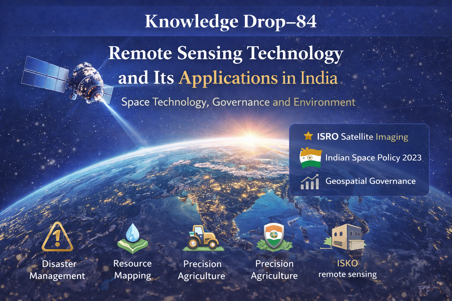
🌑Knowledge Drop – 84: Remote Sensing Technology and Its Applications in India
🔗 This Knowledge Drop has a Mains-focused companion on iasmonk.com
“For answer-writing enrichment beyond Prelims, visit iasmonk.com.”
For prelims: In-depth UPSC Level MCQs; Booster Notes; 20 Word-Flash Facts | You are very much here! For Mains: All G.S Papers: High Quality Essays ; Model Answers; Case Studies and beyond … Visit: iasmonk.com
Remote Sensing Technology and Its Applications in India
Post Date: 6 January 2026
Syllabus: GS Paper III | Science and Technology
Theme: Space Technology × Governance × Environment × Security 🛰️🌍
📍 Context
Remote-sensing technology is witnessing rapid expansion in research and governance applications. With growing reliance on satellite-based Earth observation, remote sensing has emerged as a critical tool for planning, monitoring, and national security in India.
🛰️ What is Remote Sensing?
Remote sensing refers to the acquisition of information about Earth’s surface without direct physical contact.
1)It uses satellites, aircraft, and drones.
2)It works by detecting spectral signatures of objects.
3)Sensors operate in visible, infrared, and microwave bands.
4)Different surfaces reflect or emit energy differently, enabling identification and analysis.
In India, remote sensing plays a central role in environmental monitoring, agriculture, urban planning, and defence surveillance.
🌊 Applications of Remote Sensing
Coastal and Ocean Applications 🌊
1)Monitoring shoreline changes and coastal erosion.
2)Tracking sediment transport and coastal geomorphology.
3)Measuring ocean temperature, currents, and wave heights.
4)Monitoring sea ice and marine ecosystems.
Hazard Assessment ⚠️
1)Tracking cyclones, floods, earthquakes, and landslides.
2)Assessing damage after natural disasters.
3)Supporting early warning systems and disaster preparedness.
Natural Resource Management 🌱
1)Mapping land-use and land-cover changes.
2)Identifying groundwater potential zones.
3)Detecting mineral deposits.
4)Monitoring wetlands and wildlife habitats.
Forests and Ecology 🌳
1)Mapping forest cover and biodiversity hotspots.
2)Estimating carbon stock.
3)Monitoring crop and forest health using vegetation indices.
4)Satellites detect chlorophyll using near-infrared and red light reflectance.
Agriculture 🚜
1)Crop yield estimation.
2)Soil moisture mapping.
3)Precision farming and drought assessment.
Urban Planning 🏙️
1)Monitoring urban sprawl and infrastructure growth.
2)Tracking land-use change.
3)Assessing pollution and environmental stress.
⭐ Importance of Remote Sensing
1)Provides reliable data for evidence-based governance.
2)Reduces dependence on costly ground surveys.
3)Enhances border surveillance and internal security.
4)Supports climate adaptation and conservation strategies.
5)Positions India as a global leader in space-based Earth observation.
⚠️ Challenges
1)Limited public access to high-resolution satellite data.
2)Difficulty in integrating satellite data with ground surveys.
3)Shortage of trained manpower in geospatial analytics.
4)Dependence on foreign satellites for certain high-resolution imagery.
5)Balancing open data with national security concerns.
🇮🇳 India’s Initiatives in Remote Sensing
1)Launch of Indian Remote Sensing (IRS) and Cartosat satellite series by Indian Space Research Organisation.
2)Biennial India State of Forest Report by Forest Survey of India using remote-sensing data.
3)Geospatial services and disaster support by National Remote Sensing Centre.
4)Indian Space Policy 2023 encouraging private sector participation.
5)Integration of geospatial data under Digital India initiatives.
🧭 Conclusion and Way Forward
Remote sensing is indispensable for India’s development and strategic needs, from forest monitoring to disaster prediction and border security.
To unlock its full potential, India must:
1)Improve access to high-quality data.
2)Invest in skill development and geospatial education.
3)Upgrade data processing and analytics infrastructure.
With sustained policy support and institutional capacity, remote sensing will become a cornerstone of governance, science, and security in India.
🪔 IAS Monk Whisper
“When the Earth speaks in spectra,
governance must learn to listen from space.”
Target IAS-2026+: Highly Expected Prelims MCQs :
📌 Prelims Practice MCQs
Topic:
MCQ 1 | TYPE 1 — How Many Statements Are Correct?
Consider the following statements regarding remote sensing technology:
1)Remote sensing involves collecting information about Earth’s surface without direct physical contact.
2)Remote sensing relies only on visible light sensors.
3)Remote sensing is widely used in agriculture, disaster management, and urban planning in India.
How many of the above statements are correct?
A)Only one
B)Only two
C)All three
D)None
🌀 Didn’t get it? Click here (▸) for the Correct Answer & Explanation.
🟩 Correct Answer: B) Only two
🧠 Explanation:
1)✅ True – Remote sensing gathers data without physical contact.
2)❌ False – It uses visible, infrared, and microwave sensors.
3)✅ True – It is widely used in agriculture, disasters, and urban planning.
MCQ 2 | TYPE 2 — Two-Statement Type
Consider the following statements:
Statement I: Remote sensing satellites can detect vegetation health by analysing reflected infrared radiation.
Statement II: Chlorophyll strongly reflects near-infrared radiation.
Which of the statements given above is/are correct?
A)Only Statement I is correct
B)Only Statement II is correct
C)Both Statement I and Statement II are correct
D)Neither Statement I nor Statement II is correct
🌀 Didn’t get it? Click here (▸) for the Correct Answer & Explanation.
🟩 Correct Answer: C)Both Statement I and Statement II are correct
🧠 Explanation:
Statement I ✅ True – Vegetation indices use infrared reflectance.
Statement II ✅ True – Healthy vegetation reflects near-infrared strongly.
MCQ 3 | TYPE 3 — Code-Based Statement Selection
Which of the following are applications of remote sensing technology?
1)Monitoring coastal erosion
2)Mapping groundwater potential zones
3)Predicting stock market movements
Select the correct answer using the code given below:
A)1 and 2 only
B)2 and 3 only
C)1 and 3 only
D)1, 2 and 3
🌀 Didn’t get it? Click here (▸) for the Correct Answer & Explanation.
🟩 Correct Answer: A) 1 and 2 only
🧠 Explanation:
1)✅ True – Coastal monitoring is a major application.
2)✅ True – Groundwater and mineral mapping use remote sensing.
3)❌ False – Stock market prediction is not a remote sensing application.
MCQ 4 | TYPE 4 — Direct Factual Question
Which one of the following institutions provides geospatial services and disaster support in India using remote sensing data?
A)Forest Survey of India
B)National Remote Sensing Centre
C)Indian Meteorological Department
D)Geological Survey of India
🌀 Didn’t get it? Click here (▸) for the Correct Answer & Explanation.
🟩 Correct Answer: B)National Remote Sensing Centre
🧠 Explanation:
NRSC under ISRO provides satellite data services and disaster support.
FSI uses data but does not provide operational geospatial services.
MCQ 5 | TYPE 5 — UPSC 2025 Linkage Reasoning Format (I, II, III)/ Analytical
Which of the following challenges affect the effective use of remote sensing in India?
1)Limited public access to high-resolution satellite data
2)Shortage of trained geospatial professionals
3)Difficulty in integrating satellite data with ground surveys
4)Complete absence of domestic remote sensing satellites
Select the correct answer using the code given below:
A)1, 2 and 3 only
B)1 and 4 only
C)2 and 4 only
D)1, 2, 3 and 4
🌀 Didn’t get it? Click here (▸) for the Correct Answer & Explanation.
🟩 Correct Answer: A)1, 2 and 3 only
🧠 Explanation:
1)✅ True – High-resolution data access is restricted.
2)✅ True – Skilled manpower is limited.
3)✅ True – Data integration remains complex.
4)❌ False – India has a strong domestic satellite capability.
📘 Knowledge Drop–84
Prelims Booster Notes (1-Page | Copy-Safe)
Topic: Remote Sensing Technology and Its Applications in India
GS: Paper III | Science and Technology 🛰️🌍
1) What is Remote Sensing 🛰️
1)Remote sensing is the acquisition of information about Earth’s surface without direct physical contact.
2)It uses satellites, aircraft, and drones for data collection.
3)It detects spectral signatures through visible, infrared, and microwave sensors.
4)Different surfaces reflect and emit energy differently, enabling identification and analysis.
2) Core Sensor Bands 🔍
1)Visible band helps in basic surface observation.
2)Infrared band is used for vegetation and thermal studies.
3)Microwave band enables all-weather, day-night imaging and penetration through clouds.
3) Key Applications 🌊⚠️🌱🚜🏙️
1)Coastal monitoring includes shoreline change, erosion, and sediment transport.
2)Ocean studies include currents, temperature, waves, and sea ice monitoring.
3)Hazard assessment tracks cyclones, floods, earthquakes, landslides, and erosion.
4)Natural resource management maps land use, wetlands, groundwater zones, and minerals.
5)Forests and ecology mapping covers forest cover, biodiversity hotspots, and carbon stock.
6)Vegetation health is monitored using chlorophyll reflectance in near-infrared and red bands.
7)Agriculture applications include crop yield estimation, soil moisture mapping, and precision farming.
8)Urban planning uses land-use change detection, infrastructure growth monitoring, and pollution assessment.
4) Importance for India ⭐
1)Provides reliable data for evidence-based governance and planning.
2)Reduces the need for extensive and costly ground surveys.
3)Enhances surveillance, border monitoring, and internal security.
4)Supports conservation, disaster resilience, and climate adaptation.
5)Strengthens India’s position in space-based Earth observation.
5) Challenges ⚠️
1)Limited public availability of high-resolution satellite data.
2)Difficulty in integrating satellite data with ground-based surveys.
3)Shortage of trained manpower in advanced geospatial analytics.
4)Dependence on foreign satellites for certain high-resolution imagery.
5)Balancing open data access with national security concerns.
6) India’s Institutional Framework 🇮🇳
1)Indian Remote Sensing and Cartosat satellites provide high-resolution imagery via Indian Space Research Organisation.
2)Biennial India State of Forest Report is prepared by Forest Survey of India using satellite data.
3)Geospatial services and disaster support are provided by National Remote Sensing Centre.
4)Indian Space Policy 2023 promotes private sector participation in satellite data and applications.
5)Digital India initiatives integrate geospatial data for governance and citizen services.
7) Way Forward 🧭
1)Improve access to high-quality satellite data with safeguards.
2)Invest in skill development for geospatial analytics and AI integration.
3)Upgrade data processing infrastructure and interoperability standards.
4)Strengthen public–private collaboration for applications at scale.
🔑 High-Value Prelims Takeaways 🧠
1)Remote sensing works without physical contact using spectral signatures.
2)Infrared reflectance is key to vegetation health assessment.
3)Microwave sensing enables all-weather imaging.
4)India has strong domestic satellite capability but faces data and skill gaps.
5)Remote sensing is central to governance, security, and sustainability.
⚡ Knowledge Drop–84
20 Flash Words (Prelims)
1)Remote sensing technology 🛰️
2)Earth observation systems
3)No physical contact
4)Visible infrared microwave
5)Spectral signatures
6)Vegetation indices 🌱
7)Chlorophyll detection
8)Microwave all-weather imaging
9)Coastal erosion monitoring 🌊
10)Disaster management ⚠️
11)Groundwater mapping
12)Mineral exploration
13)Forest cover assessment 🌳
14)Carbon stock estimation
15)Precision agriculture 🚜
16)Urban sprawl analysis 🏙️
17)Border surveillance
18)ISRO remote sensing 🇮🇳
19)Indian Space Policy 2023
20)Geospatial governance 📊